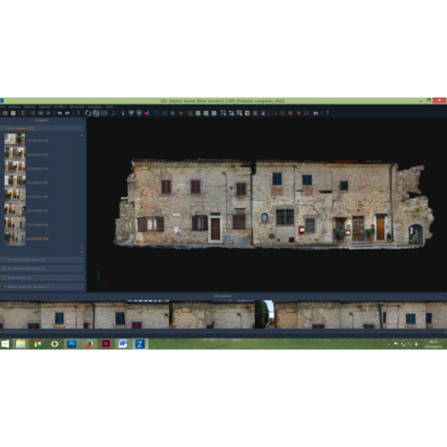
3DF Zephyr Aerial software is the complete solution for photographic survey. Through a set of tools developed specifically for professionals in geomatics, Zephyr allows to reconstruct point clouds and three-dimensional models automatically from a series of photographs or videos.
Thanks to an immediate and powerful interface, it's possible to get contour lines, sections, paths in vector format and georeferenced orthophotos.
Features
- Dense point cloud generation
- Mesh Texturing
- Video Import
- Point Cloud/Mesh import
- Cameras, Point Clouds and meshes export
- Multi GPU CUDA ® computation
- Control points, measurements & volumes
- Orthophoto & Orthomosaic
- DEM profile
- Contour lines generation
- Sections/Track sections
- PCS georeferencing support and conversion
- Direct Sketchfab upload
- 3D Eye app support
News of the version 3.0
- Import laser scanner data in native formats (es: ZFS, LFS)
- Alignment of point clouds produced by SFM algorithms and photogrammetry with point clouds from laser scanner with bundle adjustment
- In cases the generated 3d model is not reliable (geometric elements such as poles, paddocks, etc...) it is possible to draw the same elements directly on the images
- Automatic extraction of single frames from video
- Automatic contour and sections extraction with cartouche
- Extraction of volumes by a reference plane
- Attribution of weight percentage on control points
Links:
Manufacturer’s website: http://www.microgeo.it/en/default.aspx
Manufacturer’s YouTube channel: https://www.youtube.com/user/Microgeosrl


